Payl:San Pedro de Atacama (street view).jpg

Gidak-on ning maong paunang tan-aw: 686 x 600 ka mga piksel. Uban pang mga resoluyon: 275 x 240 ka mga piksel | 549 x 480 ka mga piksel | 879 x 768 ka mga piksel | 1,171 x 1,024 ka mga piksel | 2,218 x 1,939 ka mga piksel.
Tibuok resolusyon (2,218 × 1,939 pixels, size sa payl: 2.49 MB, MIME type: image/jpeg)
.jpg)
| Deskripsyon |
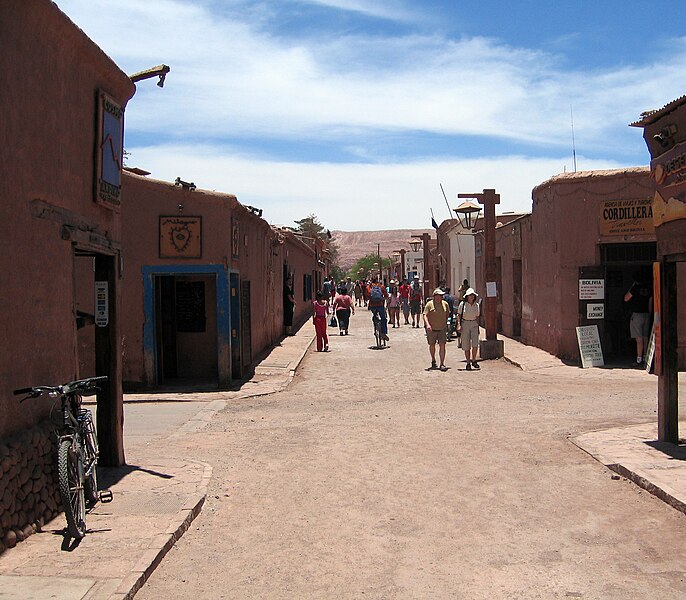
English: San Pedro de Atacama (street view) Français : Vue vers l'ouest, Intersection Calle Caracoles Calle Tocopilla, San Pedro de Atacama |
||
| Petsa | |||
| Gigikanan | Kaugalingong trabaho | ||
| Tagsulat | Entropy1963 | ||
| Pagtugot (Paggamit pag-usab niini nga file) |
|
| Camera location | | View this and other nearby images on: OpenStreetMap |
|---|
.jpg¶ms=-22.911134_N_-068.201347_E_globe:Earth_type:camera__&language=ceb)
Kaagi sa payl
I-klik ang petsa/oras aron makit-an ang hulagway sa payl niadtong panahona.
| Petsa/Takna | Thumbnail | Mga dimensyon | Tiggamit | Komento | |
|---|---|---|---|---|---|
| kasamtangan | 22:37, 22 Enero 2011 | | 2,218 × 1,939 (2.49 MB) | Entropy1963 | {{Information |Description ={{en|1=San Pedro de Atacama (street view)}} |Source ={{own}} |Author =Entropy1963 |Date =2008-12-24 |Permission ={{PD-self}} |other_versions = }} {{Coord|-22.911134|-68.20134 |
Mga paggamit sa payl
Ang mosunod nga mga panid misumpay niining payl:
Global nga paggamit sa payl
Kining ubang wiki naggamit ning maong payl:
- Paggamit sa an.wikipedia.org
- Paggamit sa arz.wikipedia.org
- Paggamit sa ay.wikipedia.org
- Paggamit sa bat-smg.wikipedia.org
- Paggamit sa bcl.wikipedia.org
- Paggamit sa be-tarask.wikipedia.org
- Paggamit sa be.wikipedia.org
- Paggamit sa bg.wikipedia.org
- Paggamit sa bi.wikipedia.org
- Paggamit sa bo.wikipedia.org
- Paggamit sa bpy.wikipedia.org
- Paggamit sa br.wikipedia.org
- Paggamit sa bs.wikipedia.org
- Paggamit sa bxr.wikipedia.org
- Paggamit sa cbk-zam.wikipedia.org
- Paggamit sa chy.wikipedia.org
- Paggamit sa co.wikipedia.org
- Paggamit sa el.wikipedia.org
- Paggamit sa en.wikipedia.org
- Paggamit sa fa.wikipedia.org
- Paggamit sa fi.wikipedia.org
- Paggamit sa fr.wikipedia.org
- Paggamit sa zh.wikipedia.org
.jpg)