Payl:South Africa Eastern Cape location map.svg

Size of this PNG preview of this SVG file: 800 x 556 ka mga piksel. Uban pang mga resoluyon: 320 x 222 ka mga piksel | 640 x 445 ka mga piksel | 1,024 x 712 ka mga piksel | 1,280 x 889 ka mga piksel | 2,560 x 1,779 ka mga piksel | 1,298 x 902 ka mga piksel.
Tibuok resolusyon (SVG nga payl, nominally 1,298 × 902 pixels, size sa payl: 282 KB)
Mubong sugid:
| Deskripsyon |
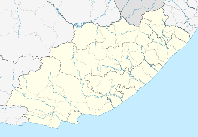
English: Location map of the Eastern Cape
Equirectangular projection, N/S stretching 117%. Geographic limits of the map:
|
| Petsa | |
| Gigikanan |
|
| Tagsulat | Htonl |
| Pagtugot (Paggamit pag-usab niini nga file) |
I, the copyright holder of this work, hereby publish it under the following license: This file is licensed under the Creative Commons Attribution-Share Alike 3.0 Unported license.
|
| Other versions | File:South Africa Eastern Cape relief location map.svg, File:Blank map of the Eastern Cape (2011).svg |
| SVG genesis |
.svg)
Kaagi sa payl
I-klik ang petsa/oras aron makit-an ang hulagway sa payl niadtong panahona.
| Petsa/Takna | Thumbnail | Mga dimensyon | Tiggamit | Komento | |
|---|---|---|---|---|---|
| kasamtangan | 21:44, 4 Enero 2013 | | 1,298 × 902 (282 KB) | Htonl | == {{int:filedesc}} == {{Information |Description ={{en|Location map of the Eastern Cape Equirectangular projection, N/S stretching 117%. Geographic limits of the map: * N: 29.75° S * S: 34.5° S * W: 22.5° E * E: 30.5° E}} |... |
Mga paggamit sa payl
Ang mosunod nga 31 panid misumpay niining payl:
- Aasvoëlkop (bukid sa Sarah Baartman DM, lat -31,84, long 24,35)
- Aasvoëlkop (bukid sa Sarah Baartman DM, lat -32,56, long 25,57)
- Aasvoëlkop (bukid sa Sarah Baartman District Municipality, lat -32,61, long 25,67)
- Adelaide (lungsod sa Eastern Cape)
- Bottelnekspruit (suba sa Habagatang Aprika, lat -30,93, long 27,57)
- Brakspruit (suba sa Habagatang Aprika, Eastern Cape)
- Buffalo River (suba sa Habagatang Aprika, Eastern Cape, lat -33,03, long 27,91)
- Carlisle's Hoek (suba)
- Diepspruit (suba sa Habagatang Aprika, Eastern Cape)
- Elandsrivier (Kommandodrif, Eastern Cape)
- Great Fish River
- Great Kei (suba)
- Groenkop (bukid sa Chris Hani DM, lat -31,61, long 26,30)
- Groenkop (bukid sa Habagatang Aprika, Eastern Cape, Amathole District Municipality)
- Groenkop (bukid sa Sarah Baartman DM, lat -32,59, long 25,61)
- Groenkop (bungtod sa Sarah Baartman DM, lat -33,60, long 24,09)
- Kraairivier (suba sa Habagatang Aprika, North Eastern Cape)
- Loskop (bukid, Sarah Baartman DM, lat -32,40, long 24,72)
- Loskop (bukid, Sarah Baartman DM, lat -32,58, long 25,80)
- Maartenshoekspruit
- Magwa Falls
- Old Woman's River (suba sa Habagatang Aprika, Eastern Cape)
- Oompiespruit
- Oompiesrivier
- Oompiesrivier (suba nga anhianhi sa Habagatang Aprika)
- Rifle Spruit
- Rooikop (bukid, Sarah Baartman DM, lat -31,94, long 24,70)
- Rooikop (bukid, Sarah Baartman DM, lat -32,73, long 25,32)
- Saalboomrivier
- Senqu
- Plantilya:Location map South Africa Eastern Cape
Global nga paggamit sa payl
Kining ubang wiki naggamit ning maong payl:
- Paggamit sa af.wikipedia.org
- Alice, Oos-Kaap
- Bhisho
- Oos-Londen
- Gqeberha
- Qunu
- Nieu-Bethesda
- Aliwal-Noord
- Dordrecht, Oos-Kaap
- Grahamstad
- Qonce
- Komani
- Cradock
- Bathurst, Oos-Kaap
- Port Alfred
- Graaff-Reinet
- Indwe
- Uitenhage
- Aberdeen, Oos-Kaap
- Adelaide (Suid-Afrika)
- Fort Beaufort
- Adendorp
- Addo-olifant- Nasionale Park
- Middelburg, Oos-Kaap
- Groot-Visrivier
- Hogsback
- Somerset-Oos
- Albanie
- Bethelsdorp
- Elliot
- Maclear
- Barkly-Oos
- Ugie
- Burgersdorp
- Rhodes, Oos-Kaap
- Seymour, Oos-Kaap
- Balfour, Oos-Kaap
- Lady Grey
- Jamestown, Oos-Kaap
- Sterkstroom
- Kamdeboo- Nasionale Park
- Nasionale Bergkwaggapark
- Mthatha
- Despatch
- Joubertina
- Boesmansriviermond
- Potsdam, Oos-Kaap
- Butterworth
- Mount Frere
- Stutterheim
- Bedford, Oos-Kaap
View more global usage of this file.