Payl:South Ossetia location map.svg

Size of this PNG preview of this SVG file: 600 x 531 ka mga piksel. Uban pang mga resoluyon: 271 x 240 ka mga piksel | 542 x 480 ka mga piksel | 868 x 768 ka mga piksel | 1,157 x 1,024 ka mga piksel | 2,314 x 2,048 ka mga piksel.
Tibuok resolusyon (SVG nga payl, nominally 600 × 531 pixels, size sa payl: 140 KB)
Mubong sugid:
| Deskripsyon |
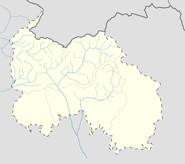
English: Location map of South Ossetia
Geographic limits of the map:
Ирон: Хуссар Ирыстоны позицион картæ
Кæрæтты координæттæ:
|
| Petsa | |
| Gigikanan | Kaugalingong trabaho |
| Tagsulat | Soslanx |
| Other versions | File:RSOLocatorMap.png |
Pagtugot
| I, the copyright holder of this work, release this work into the public domain. This applies worldwide. In some countries this may not be legally possible; if so: I grant anyone the right to use this work for any purpose, without any conditions, unless such conditions are required by law. |
Kaagi sa payl
I-klik ang petsa/oras aron makit-an ang hulagway sa payl niadtong panahona.
| Petsa/Takna | Thumbnail | Mga dimensyon | Tiggamit | Komento | |
|---|---|---|---|---|---|
| kasamtangan | 10:05, 7 Disyembre 2016 | | 600 × 531 (140 KB) | Giorgi Balakhadze | Rv of sockpuppet |
| 00:10, 15 Pebrero 2015 |  | 600 × 531 (140 KB) | Leftcry | Reverted to version as of 15:04, 4 September 2011 That doesn't really "fix" anything | |
| 18:21, 14 Pebrero 2015 |  | 600 × 531 (140 KB) | Giorgi Balakhadze | Fixing border | |
| 15:04, 4 Septiyembre 2011 |  | 600 × 531 (140 KB) | Bouron | Black sea basin rivers added | |
| 16:20, 27 Marso 2011 |  | 600 × 531 (118 KB) | Bouron | hydro reloading: + basin of L.Liakhva rivers width fixed | |
| 17:19, 25 Marso 2011 |  | 600 × 531 (104 KB) | Bouron | Hydro reloading: bassin of Bigger Liakhva river added | |
| 10:40, 17 Pebrero 2011 |  | 600 × 531 (83 KB) | Iguacu | dotted-lined borders of SO | |
| 18:06, 16 Pebrero 2011 |  | 600 × 531 (98 KB) | Bouron | border fixed | |
| 12:59, 15 Pebrero 2011 |  | 1,006 × 910 (73 KB) | Bouron | Reverted to version as of 12:51, 13 June 2010 | |
| 12:40, 15 Pebrero 2011 |  | 5,785 × 5,203 (77 KB) | Bouron | Reverted to version as of 12:09, 13 June 2010 |
Mga paggamit sa payl
Ang mosunod nga mga panid misumpay niining payl:
Global nga paggamit sa payl
Kining ubang wiki naggamit ning maong payl:
- Paggamit sa af.wikipedia.org
- Paggamit sa ar.wikipedia.org
- Paggamit sa az.wikipedia.org
- Paggamit sa ba.wikipedia.org
- Paggamit sa be.wikipedia.org
- Paggamit sa bg.wikipedia.org
- Paggamit sa bn.wikipedia.org
- Paggamit sa bs.wikipedia.org
- Paggamit sa ce.wikipedia.org
- Paggamit sa ckb.wikipedia.org
- Paggamit sa cs.wikipedia.org
- Paggamit sa da.wikipedia.org
- Paggamit sa de.wikipedia.org
- Paggamit sa en.wikipedia.org
View more global usage of this file.