Payl:Tajikistan location map.svg

Size of this PNG preview of this SVG file: 791 x 600 ka mga piksel. Uban pang mga resoluyon: 317 x 240 ka mga piksel | 633 x 480 ka mga piksel | 1,013 x 768 ka mga piksel | 1,280 x 970 ka mga piksel | 2,560 x 1,941 ka mga piksel | 1,191 x 903 ka mga piksel.
Tibuok resolusyon (SVG nga payl, nominally 1,191 × 903 pixels, size sa payl: 206 KB)
Mubong sugid:
| Deskripsyon |
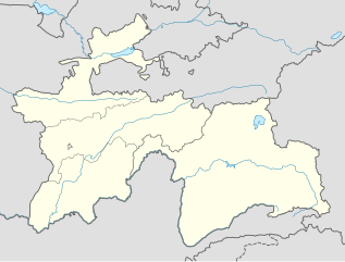
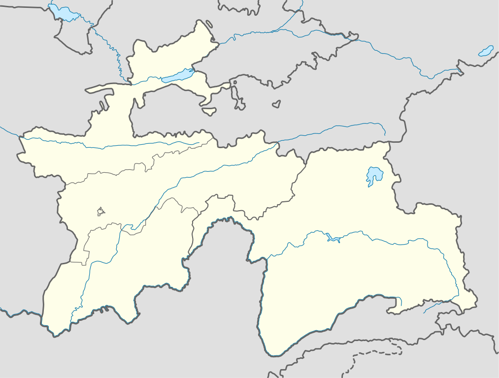
Deutsch: Positionskarte von Tadschikistan
Quadratische Plattkarte, N-S-Streckung 130 %. Geographische Begrenzung der Karte:
English: Location map of Tajikistan
Equirectangular projection, N/S stretching 130 %. Geographic limits of the map:
|
| Petsa | |
| Gigikanan |
own work, using
|
| Tagsulat | NordNordWest |

|
This map has been made or improved in the German Kartenwerkstatt (Map Lab). You can propose maps to improve as well.
|
Pagtugot
I, the copyright holder of this work, hereby publish it under the following licenses:

|
Gitugot ang pagkopya, pag-apud-apod o/ug pag-usab ning maong dokumento ubos sa mga termino sa GNU Free Documentation License, Version 1.2 o mas bag-ong bersiyon nga gimantala sa Free Software Foundation; nga walay Invariant Sections, walay Front-Cover Texts, ug walay Back-Cover Texts. Ang kopya sa lisensiya gilakip sa bahin nga giulohang GNU Free Documentation License. |
This file is licensed under the Creative Commons Attribution-Share Alike 3.0 Unported license.
- Libre ka:
- sa pagsabwag – sa pagkopya, pag-apod-apod ug pagsabwag sa hinimo
- sa pag-remix – sa pag-adap sa binuhat
- Ubos sa mosunod nga mga kondisyon:
- atribusyon – Kinahanglan nimo nga hatagan ang angay nga kredito, maghatag usa ka link sa lisensya, ug ipakita kung adunay mga pagbag-o. Mahimo nimo kini buhaton sa bisan unsang makatarunganon nga paagi, apan dili sa bisan unsang paagi nga nagsugyot nga gi-endorso ka sa licensor o ang imong paggamit.
- share parehas – Kung imong gi-remix, gibag-o, o gibase sa materyal, kinahanglan nimo nga iapod-apod ang imong mga kontribusyon sa ilawom sa parehas o katugma nga lisensya sama sa orihinal.
You may select the license of your choice.
Kaagi sa payl
I-klik ang petsa/oras aron makit-an ang hulagway sa payl niadtong panahona.
| Petsa/Takna | Thumbnail | Mga dimensyon | Tiggamit | Komento | |
|---|---|---|---|---|---|
| kasamtangan | 09:38, 16 Disyembre 2013 | | 1,191 × 903 (206 KB) | NordNordWest | Reverted to version as of 16:56, 21 October 2013; not according to the global location map scheme |
| 09:37, 16 Disyembre 2013 |  | 1,886 × 1,432 (269 KB) | Transoxsiana | 1 | |
| 16:56, 21 Oktubre 2013 |  | 1,191 × 903 (206 KB) | NordNordWest | upd | |
| 16:53, 23 Oktubre 2008 |  | 1,191 × 905 (324 KB) | NordNordWest | ||
| 21:32, 26 Septiyembre 2008 |  | 1,191 × 905 (325 KB) | NordNordWest | {{Information |Description= {{de|Positionskarte von Tadschikistan}} Quadratische Plattkarte, N-S-Streckung 130 %. Geographische Begrenzung der Karte: * N: 41.3° N * S: 36.4° N * W: 67.1° O * O: 75.5° O {{en|Location map of [[:en: |
Mga paggamit sa payl
There are no pages that use this file.
Global nga paggamit sa payl
Kining ubang wiki naggamit ning maong payl:
- Paggamit sa be-tarask.wikipedia.org
- Paggamit sa bg.wikipedia.org
- Paggamit sa bn.wikipedia.org
- Paggamit sa bs.wikipedia.org
- Paggamit sa ce.wikipedia.org
- Paggamit sa cs.wikipedia.org
- Paggamit sa da.wikipedia.org
- Paggamit sa de.wikipedia.org
- Paggamit sa el.wikipedia.org
- Paggamit sa en.wikipedia.org
- Paggamit sa eo.wikipedia.org
- Paggamit sa es.wikipedia.org
- Paggamit sa et.wikipedia.org
- Paggamit sa eu.wikipedia.org
- Paggamit sa fa.wikipedia.org
- Paggamit sa fr.wikipedia.org
- Paggamit sa he.wikivoyage.org
- Paggamit sa hu.wikipedia.org
- Paggamit sa id.wikipedia.org
- Paggamit sa io.wikipedia.org
- Paggamit sa ka.wikipedia.org
- Paggamit sa kbd.wikipedia.org
- Paggamit sa kk.wikipedia.org
- Paggamit sa lez.wikipedia.org
View more global usage of this file.