Payl:TannerreEnPuisaye LavoirInondable.JPG

Gidak-on ning maong paunang tan-aw: 800 x 536 ka mga piksel. Uban pang mga resoluyon: 320 x 214 ka mga piksel | 640 x 428 ka mga piksel | 1,024 x 685 ka mga piksel | 1,280 x 857 ka mga piksel | 2,560 x 1,714 ka mga piksel | 3,872 x 2,592 ka mga piksel.
Tibuok resolusyon (3,872 × 2,592 pixels, size sa payl: 3.94 MB, MIME type: image/jpeg)
Mubong sugid:
| Deskripsyon |
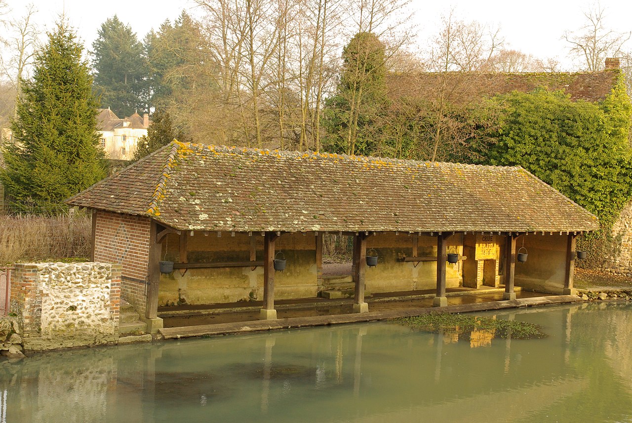
Français : Tannerre-en-Puisaye
Lavoir inondable le long du Branlin. Du pont de la rue Saint-Blaise, vue vers l'amont. |
| Petsa | |
| Gigikanan | Kaugalingong trabaho |
| Tagsulat | Eurasia21eu |
| Camera location | | View this and other nearby images on: OpenStreetMap |
|---|
Pagtugot
| I, the copyright holder of this work, release this work into the public domain. This applies worldwide. In some countries this may not be legally possible; if so: I grant anyone the right to use this work for any purpose, without any conditions, unless such conditions are required by law. |
Kaagi sa payl
I-klik ang petsa/oras aron makit-an ang hulagway sa payl niadtong panahona.
| Petsa/Takna | Thumbnail | Mga dimensyon | Tiggamit | Komento | |
|---|---|---|---|---|---|
| kasamtangan | 15:28, 22 Pebrero 2010 | | 3,872 × 2,592 (3.94 MB) | Eurasia29 | {{Information |Description={{fr|1=Tannerre-en-Puisaye Lavoir inondable le long du Branlin}} |Source={{own}} |Author=Eurasia21eu |Date=2010/01/26 |Permission= |other_versions= }} {{Location|47|44|04.4|N|3|07|53|E}} [[Category:Commune d |
Mga paggamit sa payl
Ang mosunod nga mga panid misumpay niining payl:
Global nga paggamit sa payl
Kining ubang wiki naggamit ning maong payl:
- Paggamit sa eo.wikipedia.org
- Paggamit sa fr.wikipedia.org
- Paggamit sa la.wikipedia.org
- Paggamit sa pt.wikipedia.org
- Paggamit sa sv.wikipedia.org
- Paggamit sa www.wikidata.org