Payl:Track to Horn Cottage, and footpath to Uckington - geograph.org.uk - 2078993.jpg
Gidak-on ning maong paunang tan-aw: 799 x 599 ka mga piksel. Uban pang mga resoluyon: 320 x 240 ka mga piksel | 640 x 480 ka mga piksel | 845 x 634 ka mga piksel.
Tibuok resolusyon (845 × 634 pixels, size sa payl: 197 KB, MIME type: image/jpeg)
Mubong sugid:
| Deskripsyon |
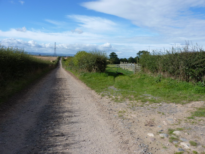
English: Track to Horn Cottage, and footpath to Uckington, near to Uppington, Shropshire, Great Britain.
The track goes straight on; the footpath goes through the gateway on the right. |
| Petsa | |
| Gigikanan | From geograph.org.uk; transferred by User:svejk74 using geograph_org2commons. |
| Tagsulat | Richard Law |
| Pagtugot (Paggamit pag-usab niini nga file) |
Creative Commons Attribution Share-alike license 2.0 |
| Attribution (required by the license) | Richard Law / Track to Horn Cottage, and footpath to Uckington / |
| Camera location | | View this and other nearby images on: OpenStreetMap |
|---|
| Object location | | View this and other nearby images on: OpenStreetMap |
|---|
_region:GB-GBN_heading:270.00&language=ceb)
Pagtugot

|
This image was taken from the Geograph project collection. See this photograph's page on the Geograph website for the photographer's contact details. The copyright on this image is owned by Richard Law and is licensed for reuse under the Creative Commons Attribution-ShareAlike 2.0 license.
|
This file is licensed under the Creative Commons Attribution-Share Alike 2.0 Generic license.
Attribution: Richard Law
- Libre ka:
- sa pagsabwag – sa pagkopya, pag-apod-apod ug pagsabwag sa hinimo
- sa pag-remix – sa pag-adap sa binuhat
- Ubos sa mosunod nga mga kondisyon:
- atribusyon – Kinahanglan nimo nga hatagan ang angay nga kredito, maghatag usa ka link sa lisensya, ug ipakita kung adunay mga pagbag-o. Mahimo nimo kini buhaton sa bisan unsang makatarunganon nga paagi, apan dili sa bisan unsang paagi nga nagsugyot nga gi-endorso ka sa licensor o ang imong paggamit.
- share parehas – Kung imong gi-remix, gibag-o, o gibase sa materyal, kinahanglan nimo nga iapod-apod ang imong mga kontribusyon sa ilawom sa parehas o katugma nga lisensya sama sa orihinal.
Kaagi sa payl
I-klik ang petsa/oras aron makit-an ang hulagway sa payl niadtong panahona.
| Petsa/Takna | Thumbnail | Mga dimensyon | Tiggamit | Komento | |
|---|---|---|---|---|---|
| kasamtangan | 11:05, 22 Nobiyembre 2010 | | 845 × 634 (197 KB) | File Upload Bot (Magnus Manske) |
Mga paggamit sa payl
Ang mosunod nga mga panid misumpay niining payl:
Global nga paggamit sa payl
Kining ubang wiki naggamit ning maong payl:
- Paggamit sa en.wikipedia.org
- Paggamit sa sv.wikipedia.org
- Paggamit sa www.wikidata.org