Payl:Vilabella.jpg
Gidak-on ning maong paunang tan-aw: 799 x 280 ka mga piksel. Uban pang mga resoluyon: 320 x 112 ka mga piksel | 640 x 224 ka mga piksel | 1,024 x 359 ka mga piksel | 1,280 x 449 ka mga piksel | 2,976 x 1,043 ka mga piksel.
Tibuok resolusyon (2,976 × 1,043 pixels, size sa payl: 2.65 MB, MIME type: image/jpeg)
Mubong sugid:
| Deskripsyon |
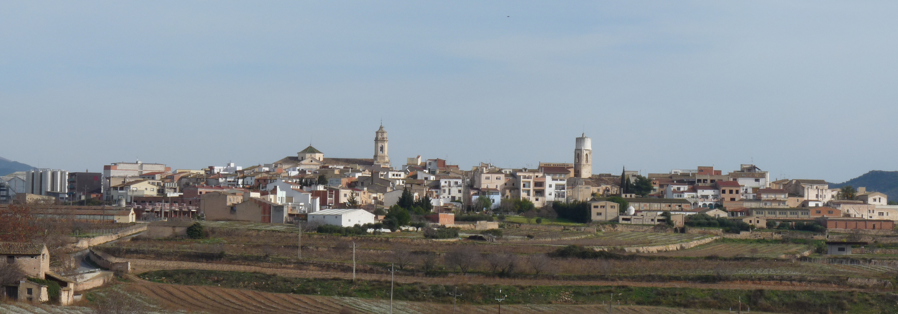
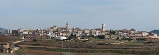
English: Vilabella
Català: Vilabella |
| Petsa | |
| Gigikanan | Kaugalingong trabaho |
| Tagsulat | Tabalot |
| Camera location | | View this and other nearby images on: OpenStreetMap |
|---|
Pagtugot
| I, the copyright holder of this work, release this work into the public domain. This applies worldwide. In some countries this may not be legally possible; if so: I grant anyone the right to use this work for any purpose, without any conditions, unless such conditions are required by law. |
Kaagi sa payl
I-klik ang petsa/oras aron makit-an ang hulagway sa payl niadtong panahona.
| Petsa/Takna | Thumbnail | Mga dimensyon | Tiggamit | Komento | |
|---|---|---|---|---|---|
| kasamtangan | 23:04, 10 Enero 2009 | 2,976 × 1,043 (2.65 MB) | Tabalot | {{Information |Description={{en|1=Vilabella}} {{ca|1=Vilabella}} |Source=Obra pròpia (own work) |Author=Tabalot |Date=01/01/2009 |Permission= |other_versions= }} {{Coor dms|41|11|54.6|N|1|22|22.9|E}} <!--{{ImageUpload|full}}--> Category:Alt Camp [[Ca |
Mga paggamit sa payl
Ang mosunod nga mga panid misumpay niining payl:
Global nga paggamit sa payl
Kining ubang wiki naggamit ning maong payl:
- Paggamit sa an.wikipedia.org
- Paggamit sa azb.wikipedia.org
- Paggamit sa ca.wikipedia.org
- Paggamit sa ce.wikipedia.org
- Paggamit sa de.wikipedia.org
- Paggamit sa en.wikipedia.org
- Paggamit sa es.wikipedia.org
- Paggamit sa eu.wikipedia.org
- Paggamit sa fa.wikipedia.org
- Paggamit sa fr.wikipedia.org
- Paggamit sa gl.wikipedia.org
- Paggamit sa hu.wikipedia.org
- Paggamit sa hy.wikipedia.org
- Paggamit sa ia.wikipedia.org
- Paggamit sa it.wikipedia.org
- Paggamit sa la.wikipedia.org
- Paggamit sa lld.wikipedia.org
- Paggamit sa lmo.wikipedia.org
- Paggamit sa pl.wikipedia.org
- Paggamit sa pt.wikipedia.org
- Paggamit sa ru.wikipedia.org
- Paggamit sa sq.wikipedia.org
- Paggamit sa sv.wikipedia.org
- Paggamit sa tt.wikipedia.org
- Paggamit sa uk.wikipedia.org
- Paggamit sa uz.wikipedia.org
- Paggamit sa vec.wikipedia.org
- Paggamit sa vi.wikipedia.org
- Paggamit sa www.wikidata.org