Payl:YnysMon2007Constituency.svg

Size of this PNG preview of this SVG file: 306 x 338 ka mga piksel. Uban pang mga resoluyon: 217 x 240 ka mga piksel | 435 x 480 ka mga piksel | 695 x 768 ka mga piksel | 927 x 1,024 ka mga piksel | 1,854 x 2,048 ka mga piksel.
Tibuok resolusyon (SVG nga payl, nominally 306 × 338 pixels, size sa payl: 433 KB)
Mubong sugid:
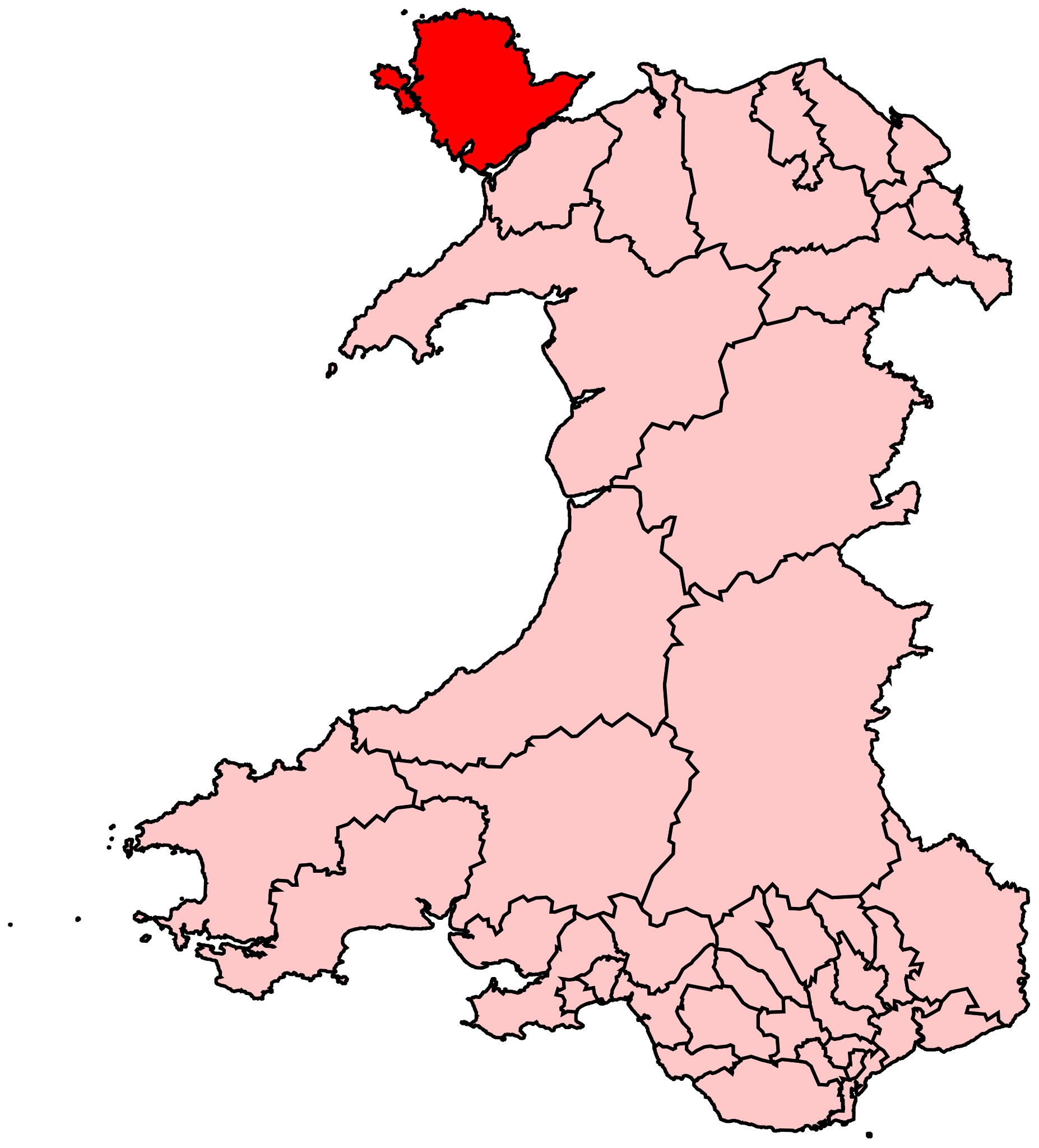
| Deskripsyon | Map of the new UK Parliament constituency of Ynys Môn. |
| Petsa | 28 Hulyo 2008 (original upload date) |
| Gigikanan | No machine-readable source provided. Own work assumed (based on copyright claims). |
| Tagsulat | No machine-readable author provided. Wereon assumed (based on copyright claims). |
Pagtugot
| I, the copyright holder of this work, release this work into the public domain. This applies worldwide. In some countries this may not be legally possible; if so: I grant anyone the right to use this work for any purpose, without any conditions, unless such conditions are required by law. |
Kaagi sa payl
I-klik ang petsa/oras aron makit-an ang hulagway sa payl niadtong panahona.
| Petsa/Takna | Thumbnail | Mga dimensyon | Tiggamit | Komento | |
|---|---|---|---|---|---|
| kasamtangan | 10:56, 28 Hulyo 2008 | | 306 × 338 (433 KB) | Wereon | == Summary == Map of the new UK Parliament constituency of Ynys Môn. == Licensing == {{PD-self}} Category:Locator maps of parliamentary constituencies of Wales {{ImageUpload|basic}} |
Mga paggamit sa payl
Ang mosunod nga mga panid misumpay niining payl:
Global nga paggamit sa payl
Kining ubang wiki naggamit ning maong payl:
- Paggamit sa ar.wikipedia.org
- Paggamit sa cy.wikipedia.org
- Paggamit sa de.wikipedia.org
- Paggamit sa en.wikipedia.org
- Paggamit sa fr.wikipedia.org
- Paggamit sa ga.wikipedia.org
- Paggamit sa it.wikipedia.org
- Paggamit sa simple.wikipedia.org
- Paggamit sa www.wikidata.org
- Paggamit sa zh.wikipedia.org